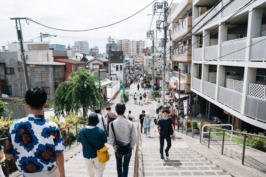
“Old Tokyo” here is a modern invention—assembled from temples moved after fires, a buried river, a battlefield and streets that survived destruction unevenly.
Yanaka, Nezu and Sendagi are often grouped under the name Yanesen and marketed as a pocket of the city that time forgot. Walk from Nippori Station through Yanaka Cemetery, descend toward Yanaka Ginza, follow the curves of Hebimichi and enter the wooded grounds of Nezu Shrine, and the claim can feel convincing. Temple walls, narrow lanes, low buildings and quiet slopes appear to preserve an older Tokyo missing elsewhere.
Yet Yanesen is not a single historical neighborhood, and its atmosphere does not come from one surviving age. Yanaka became a temple town after religious institutions were moved to Edo’s edge. Nezu grew around a major Tokugawa shrine in a valley. Sendagi spread across plateaus and along the Aizome River, now hidden beneath a winding road. The Battle of Ueno, Meiji cemetery planning, railways, uneven earthquake and air-raid damage, postwar shopping streets and late twentieth-century preservation campaigns added further layers.
What visitors experience today is therefore not an untouched Edo town. It is a landscape in which old institutions, accidental survival, modern rebuilding and deliberate storytelling overlap. Yanesen feels different because several Tokyos remain visible at once.
Quick Facts
- Japanese names: 谷中・根津・千駄木
- Collective name: Yanesen (谷根千)
- Municipalities: Taito City and Bunkyo City
- Main access: Nippori, Sendagi and Nezu stations
- Known for: temple streets, Yanaka Cemetery, Nezu Shrine, Hebimichi, Yanaka Ginza and small-scale historic streetscapes
- Main historical layers: temple relocation, Tokugawa religious geography, the Battle of Ueno, Meiji cemetery reform, buried waterways, railways, disaster survival, postwar commerce and preservation
Why Yanesen Feels Different from Central Tokyo
Large parts of central Tokyo were repeatedly widened, consolidated and rebuilt after the 1923 Great Kanto Earthquake, wartime destruction and postwar redevelopment. Yanaka, Nezu and Sendagi also changed, but many blocks escaped the most comprehensive forms of clearance. The result is a finer-grained street network, a high concentration of religious land, abrupt slopes and buildings from several periods standing close together.
Topography is essential. The area occupies the eastern edge of the Musashino uplands, where the Ueno and Hongo-Sendagi plateaus break into valleys. Streets bend around slopes rather than cutting directly through them. Temple precincts and cemeteries preserve large areas of open land. Former waterways remain visible as curved roads.
Institutional history matters just as much. Yanaka’s temples, Nezu Shrine, Kan’ei-ji and Yanaka Cemetery fixed large tracts of land into religious and funerary use. These properties limited some forms of redevelopment and created walls, gates, paths and green spaces that still structure movement.
Plateaus, Valleys and the Buried Aizome River
Yanaka occupies high ground connected with the Ueno plateau. Sendagi spreads across ridges and slopes on the eastern side of the Hongo uplands. Nezu lies mainly in lower ground between them. Before modern drainage, rain and spring water collected in these depressions and flowed toward Shinobazu Pond.
The Aizome River was the best-known local stream. It passed through the valley between Sendagi and Yanaka, supporting everyday life and small-scale work but also receiving wastewater and causing flooding as the area became denser. Work to place the river underground began in the early twentieth century.
Hebimichi—literally “Snake Road”—preserves its course. The repeated curves are not a picturesque design choice; they follow the old channel. Even without visible water, the road and surrounding slopes allow visitors to read the former valley.
How Yanaka Became a Temple Town
As Edo expanded during the seventeenth century, temples were relocated from denser central districts. Fires, urban reorganization, the need for larger precincts and shogunal regulation all contributed. High ground on the northern edge of the city offered space beyond the crowded commercial core.
The process was gradual. Different temples arrived at different times, while existing villages, fields and roads remained. Over decades, however, their concentration produced a recognizable tera-machi, or temple town. Walls, gates, cemeteries and approach roads divided the land into a pattern unlike ordinary residential blocks.
Temples also generated work. Priests and temple households required food, fuel, maintenance and craft services. Visitors needed refreshments and offerings. Stone workers, gardeners, carpenters and incense sellers found customers near the precincts and burial grounds.
Kan’ei-ji, Ueno and Yanaka’s Religious Geography
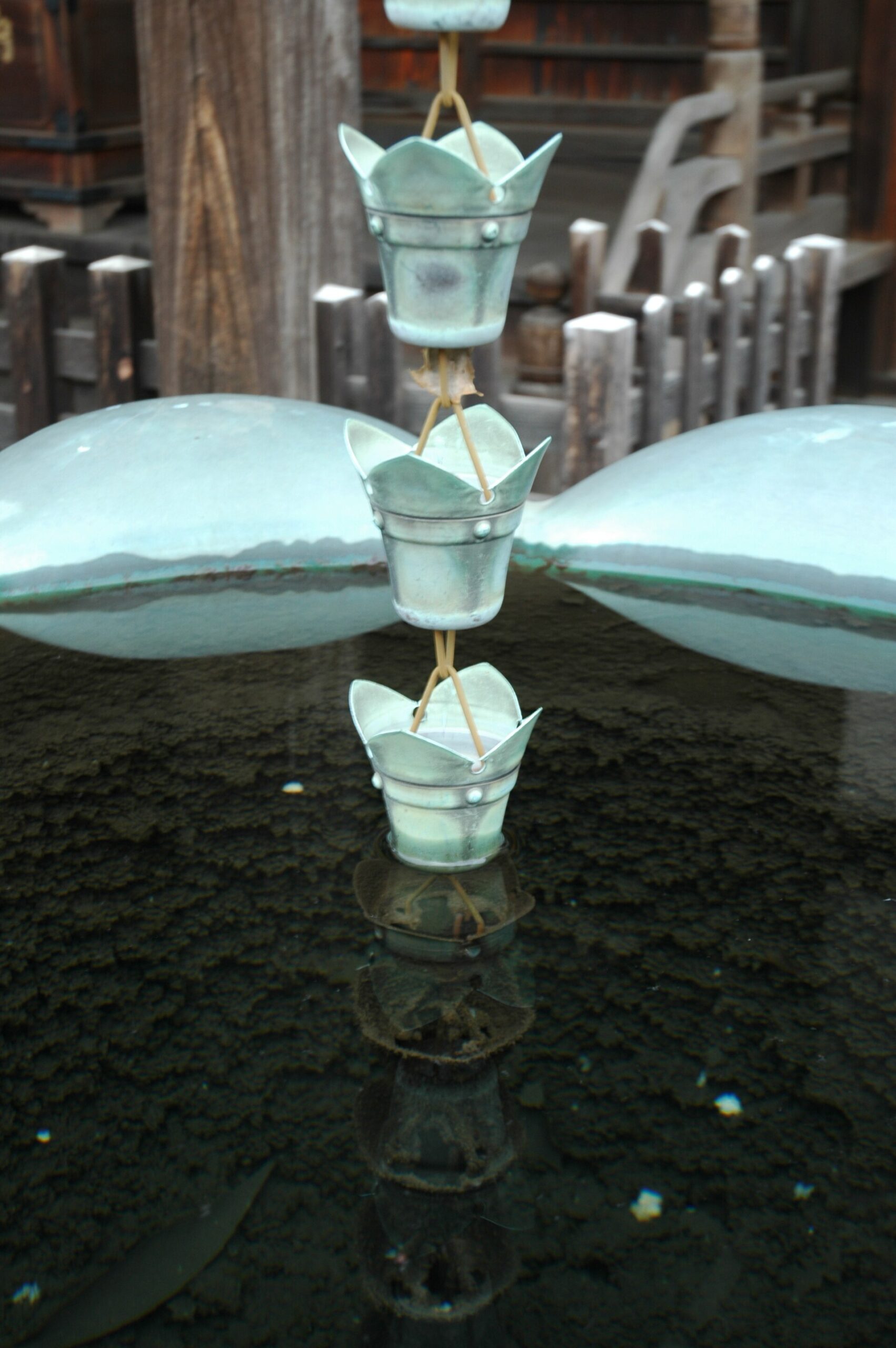
Kan’ei-ji was founded on the Ueno plateau in 1625 with Tokugawa support. It became one of the shogunate’s most important Buddhist institutions, occupying much of the land now associated with Ueno Park.
Yanaka developed immediately beside this great complex. Not every Yanaka temple was subordinate to Kan’ei-ji, but the institution shaped routes, land use and religious activity across the wider plateau. Clergy, suppliers, worshippers, funeral processions and visitors moved through a connected sacred zone.
After the Battle of Ueno in 1868, much of Kan’ei-ji burned and the Meiji government took control of large parts of its land. Ueno Park, museums and modern public institutions emerged from this reorganization, while nearby burial grounds were reshaped into the landscape now known as Yanaka Cemetery.
Nezu Shrine in the Valley
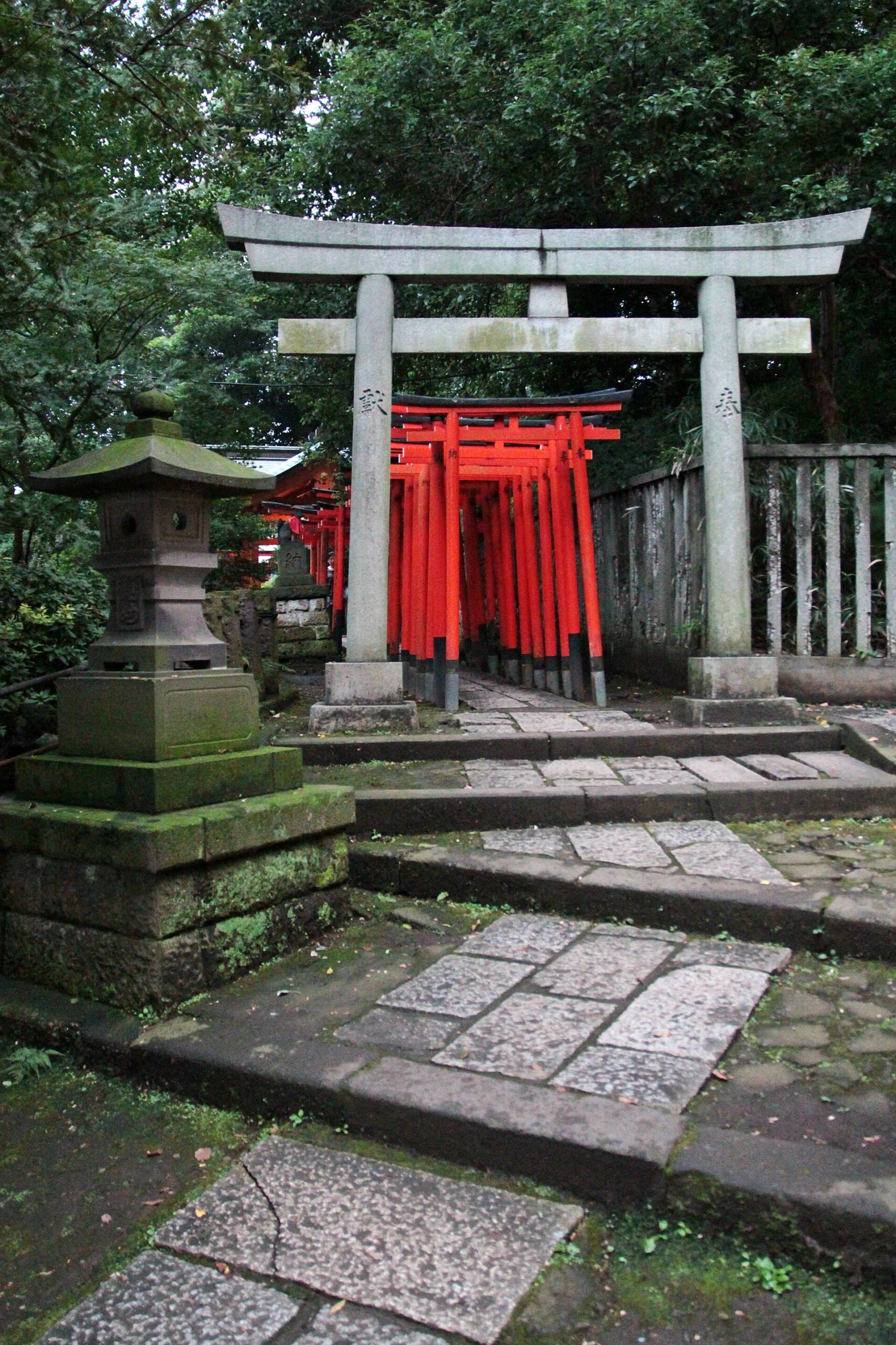
Nezu Shrine stands in a green hollow below the surrounding plateaus. Its tradition is older, but the present location and monumental complex belong especially to the Tokugawa period. The principal buildings were completed in 1706 under the patronage of the fifth shogun, Tokugawa Tsunayoshi.
The setting gives the shrine much of its character. Approaches descend from the higher streets of Sendagi and Hongo into lower ground shaped by former waterways. Wooded slopes enclose the precinct, while gates, corridors and paths organize movement through it.
The shrine also anchored festivals, commerce and local identity. Its survival does not mean the precinct escaped every disruption; buildings and surrounding streets underwent repair and wartime change. What remains is a rare continuity of place and major early eighteenth-century architecture.
Sendagi’s Slopes and Residential Streets
Sendagi’s identity comes from broken terrain. Plateau roads, narrow slopes and the former Aizome River valley lie close together. During the Edo period, the area contained temple land, samurai residences, fields and village settlement. Higher ground offered relatively dry residential sites, while lower streets followed waterways and valley paths.
During the Meiji and Taisho periods, better transport and Tokyo’s expansion brought denser housing. Writers, artists and teachers lived in or near Sendagi, but the district was never only a literary enclave. Craftspeople, shopkeepers, tenants and small landlords formed its everyday population.
Steep and curved lanes made large-scale road building difficult. New houses and apartments appeared, but the terrain helped preserve a patchwork rather than a uniform modern grid.
The Battle of Ueno
In July 1868, imperial forces attacked the Shogitai, former Tokugawa retainers gathered around Kan’ei-ji. The Battle of Ueno was short but destructive. Much of the temple complex burned, and the political order that had supported it collapsed.
Yanaka lay beside the battlefield and experienced fire, troop movement and displacement. Damage varied by location, and the whole district was not reduced to one continuous ruin. The larger consequence was institutional: former temple territory was divided among a reduced Kan’ei-ji, public parkland, roads, museums and modern burial administration.
Yanaka Cemetery and the Modern Administration of Death
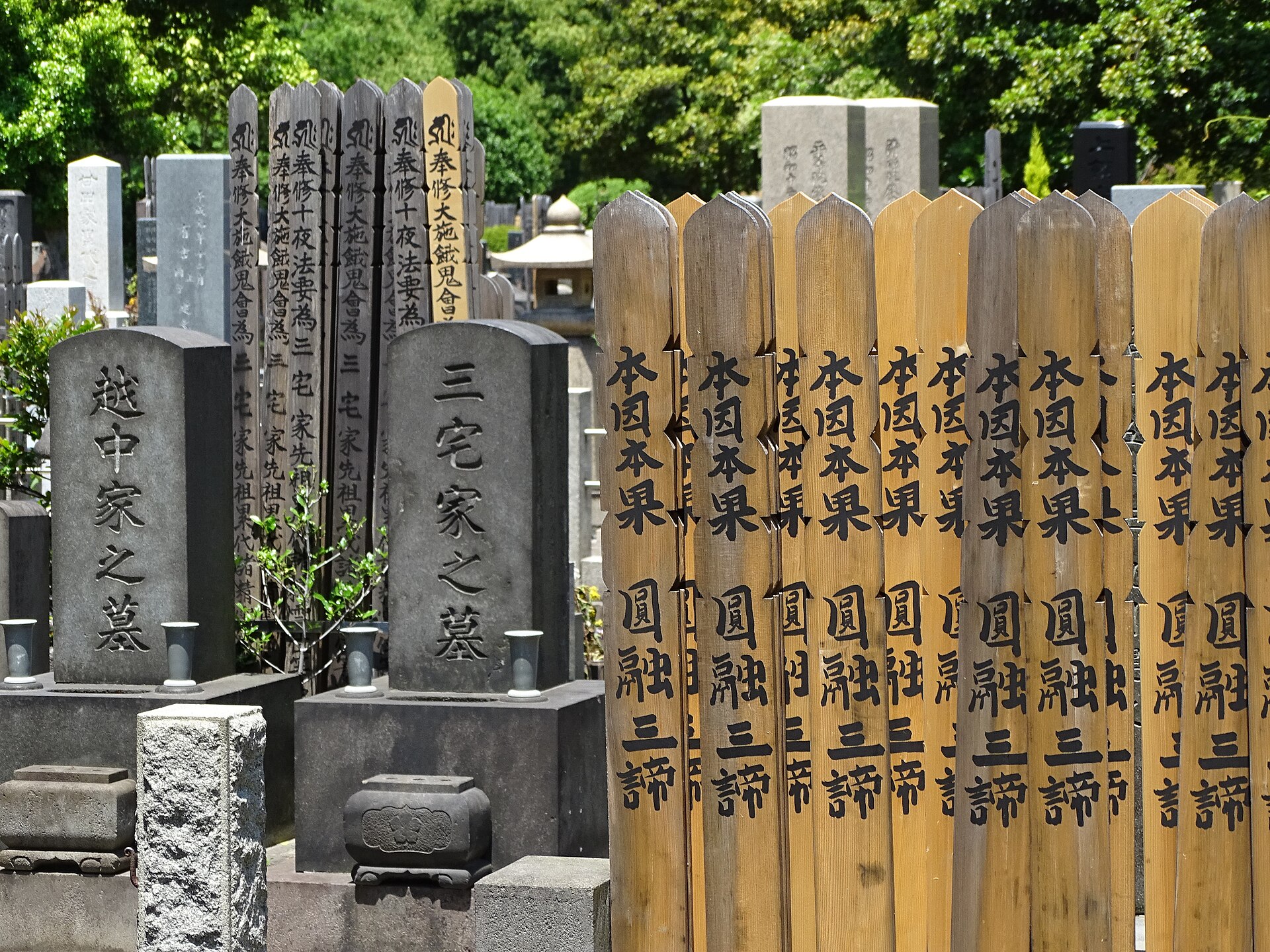
Yanaka Cemetery opened in 1874 as one of Tokyo’s early public cemeteries. It was laid out within and beside older religious burial grounds connected with Kan’ei-ji and Tennoji. The result was not a clean separation between public and temple land but an interwoven funerary landscape.
The cemetery expressed a Meiji goal: burial would be mapped, regulated and managed as an urban public function. At the same time, it preserved older practices of memorial visitation and temple-linked funeral culture. Its long central avenue and cherry trees gave it the character of public open space as well as burial ground.
Railways Create a New Edge
Ueno Station opened in 1883 and became Tokyo’s major northern gateway. Nippori Station followed in 1905. Tracks ran along the low eastern edge of the plateau, creating a strong boundary below Yanaka’s high ground.
The stations brought residents, visitors and goods within easier reach of central Tokyo and northern suburbs. They also redirected foot traffic. The climb from Nippori through the cemetery or toward Yuyake Dandan became a transition from metropolitan transport into a much older street system.
Earthquake, Air Raids and Uneven Survival
The Great Kanto Earthquake struck in 1923. Fire devastated broad areas of central and eastern Tokyo, but many parts of Yanaka, Nezu and Sendagi lay outside the largest burned zones. High ground, temple and cemetery open space, lower building density in some sections and the direction of fire spread all contributed.
This was relative survival, not complete safety. Buildings were damaged, infrastructure failed and displaced people entered the area. The disaster also accelerated population movement into less affected neighborhoods, increasing pressure for housing and subdivision.
Air raids in 1944 and 1945 created another uneven pattern. Parts of Yanesen survived more extensively than districts farther east, but local fires, deaths, evacuation and wartime demolition still occurred. The streets visible today combine survivors, repairs and later replacements.
Yanaka Ginza and Postwar Neighborhood Life
Yanaka Ginza developed around the end of the Second World War as a local shopping street serving residents near Nippori and Sendagi. The stairs now called Yuyake Dandan connect the higher Yanaka side with the commercial street below.
During the postwar decades, the street supplied ordinary household needs. Its later fame grew through small shops, accessible food, media attention and the wider popularity of Yanesen as an “old Tokyo” destination. Some long-established businesses remain, while others have adapted to visitors.
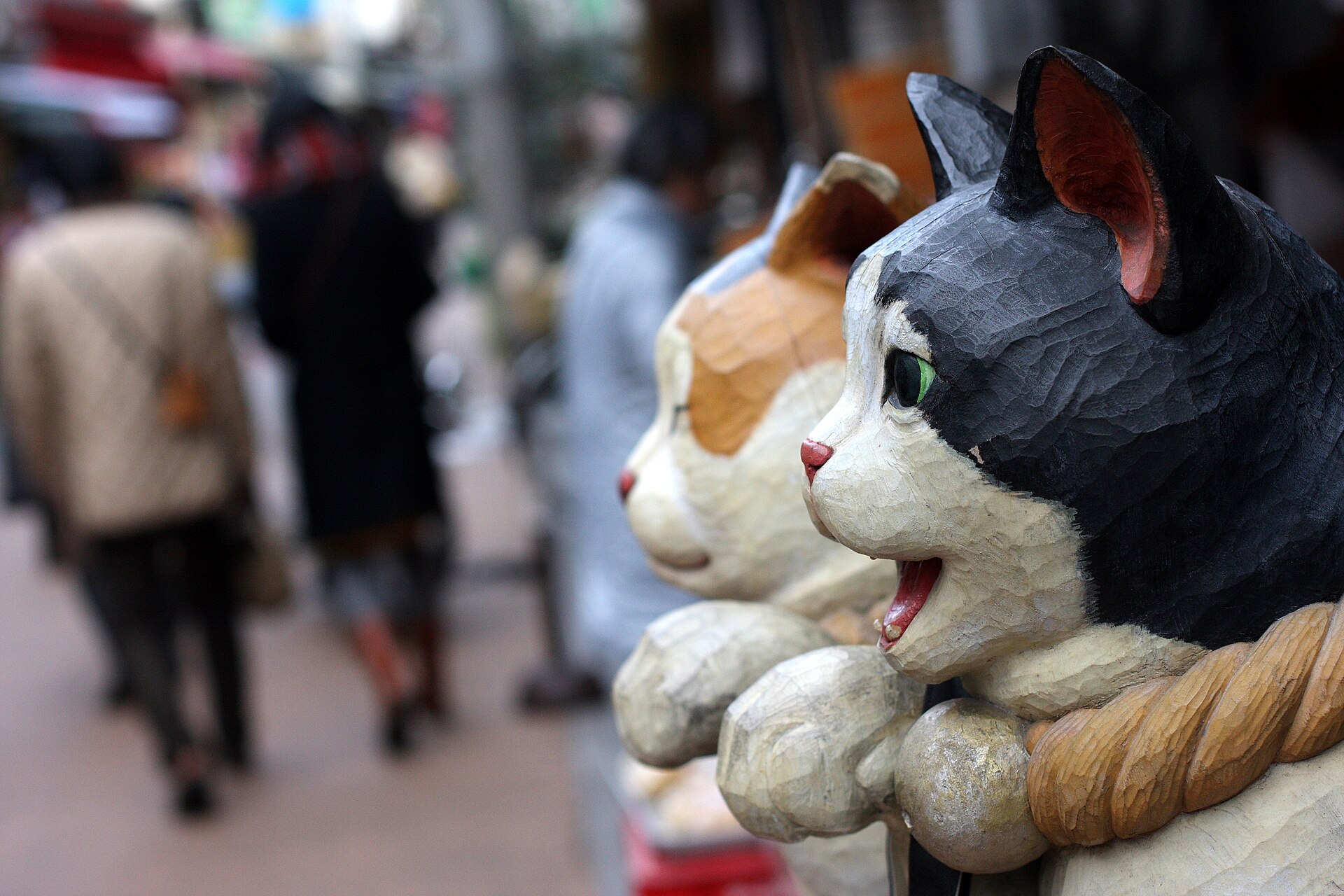
How “Yanesen” Was Invented
Yanesen is a modern abbreviation formed from Yanaka, Nezu and Sendagi. The districts had long been connected by routes, markets and daily movement, but they did not historically form one administrative neighborhood under that name.
The local magazine Yanaka, Nezu, Sendagi, first published in 1984, helped popularize the collective identity. It documented residents, shops, buildings, memories and local history from within the community. The title encouraged readers to understand the three adjoining districts as one cultural landscape.
The name did more than describe a place. It created a framework for preservation, storytelling and tourism across the Taito–Bunkyo boundary. Yanesen is therefore both a real network of neighboring streets and a late twentieth-century cultural construction.
Preservation and the Problem of “Old Tokyo”
Features once dismissed as old-fashioned—wooden houses, alleys, shop signs and temple walls—became valuable as redevelopment transformed other parts of Tokyo. Residents, writers, photographers and local businesses documented buildings, reused old structures and opposed some development proposals.
Tourism supports cafés, galleries and food shops, but it can also bring congestion, rising rents and pressure to turn daily life into spectacle. Fire safety and earthquake resilience remain urgent in areas with narrow roads and wooden buildings.
The challenge is not to freeze Yanesen. Its historical character has always come from change within inherited routes, landforms and institutions. Effective preservation keeps those relationships legible without manufacturing a fictional Edo streetscape.
What to Look For Today
- Yanaka temple streets: walls, gates and cemeteries preserve the structure of an Edo-period temple town.
- Yanaka Cemetery: a Meiji public cemetery interwoven with older religious burial grounds.
- The plateau edge near Nippori: slopes reveal the divide between high ground and railway lowland.
- Nezu Shrine: an early eighteenth-century shrine complex set within the valley landscape.
- Hebimichi: a curved road following the buried Aizome River.
- Sendagi’s slopes: narrow climbs shaped residential development and limited large-scale road building.
- Yuyake Dandan and Yanaka Ginza: the connection between station access, plateau housing and postwar commerce.
- Mixed building ages: prewar houses, postwar shops, apartments and recent renovations reveal survival and replacement together.
Timeline
| 1625 | Kan’ei-ji is founded on the Ueno plateau. |
| Seventeenth century | Temple relocation creates Yanaka’s religious concentration. |
| 1706 | The principal buildings of Nezu Shrine are completed. |
| 1868 | The Battle of Ueno destroys much of Kan’ei-ji and transforms the surrounding land. |
| 1874 | Yanaka Cemetery opens. |
| 1883 | Ueno Station opens. |
| 1905 | Nippori Station opens. |
| 1921 | Work begins to place the Aizome River underground. |
| 1923 | The Great Kanto Earthquake causes uneven damage and new housing pressure. |
| 1944–1945 | Air raids damage parts of Yanaka, Nezu and Sendagi. |
| Late 1940s onward | Postwar housing and shopping streets expand. |
| 1984 | The magazine Yanaka, Nezu, Sendagi begins publication and popularizes “Yanesen.” |
| Today | The district balances residential life, religious practice, preservation and tourism. |
Frequently Asked Questions
Is Yanesen an old historical place name?
No. It is a modern abbreviation of Yanaka, Nezu and Sendagi that became widely known in the late twentieth century.
Did the entire area survive the 1923 earthquake and 1945 air raids?
No. Damage was uneven. Many sections escaped the largest fire zones, but buildings and lives were still affected.
Are the lanes and houses all from the Edo period?
No. Some routes and parcel patterns have early modern origins, but buildings range from the Meiji period to the present.
Why are there so many temples in Yanaka?
As Edo expanded, temples were moved toward its edges during seventeenth-century urban reorganization. Yanaka’s high ground became one of the city’s principal temple concentrations.
What does Hebimichi show?
Its curves preserve the course of the former Aizome River, now buried beneath the street.
Related Neighborhood Histories
Read The History of Ueno for the adjoining Tokugawa temple complex, battlefield and modern park, and The History of Asakusa for another district shaped by religion and visitor commerce. Browse the Tokyo Neighborhood Histories directory.