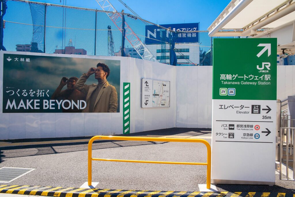
Takanawa is the district where Tokyo’s southern entrance keeps changing form. The old Tokaido highway, Sengakuji’s temple slopes, Shinagawa Station, Takanawa Gateway Station and a new station-city all occupy the same narrow corridor between high ground and a vanished shoreline.
That concentration is not accidental. Takanawa repeatedly became a gateway because geography forced movement through a limited strip of land. In the Edo period, travelers passed a road barrier beside the sea. In 1872, Japan’s first railway used an embankment built across shallow water. Today, former rail-yard land supports a new urban center.
The district’s history is therefore not a sequence of unrelated landmarks. It is the story of how one transport corridor was reused as Tokyo expanded from a castle city into a national capital.
A Narrow Corridor between Hills and the Sea
Takanawa’s basic shape comes from its height. The plateau rises on the west, while the historic shoreline once lay close to the east. Between them ran the Tokaido, the principal highway connecting Edo with the provinces to the south and west.
The upper ground offered room for temples, cemeteries and large warrior estates. The lower corridor carried travelers, carts and goods. Boats worked along the shore. Different functions could stand close together because they occupied different levels.
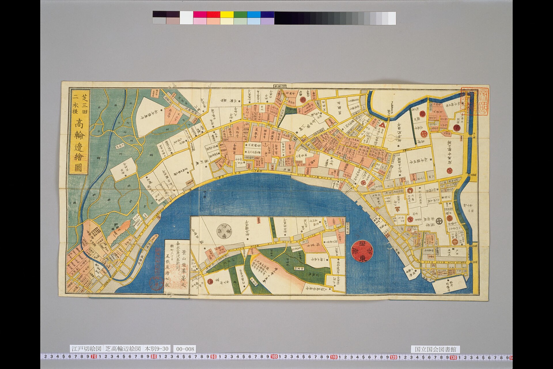
This geography explains why Takanawa repeatedly served as an entrance to the capital. Roads, boats and later railways all had to negotiate the same narrow north–south route.
Takanawa Okido Marked the Edge of Edo
The Tokugawa government established Takanawa Okido beside the Tokaido in 1710. It was not a gate of Edo Castle. It was a large road barrier on the southern approach to the wider city, where officials could monitor traffic and close the passage at night.
The wooden gate has disappeared, but part of its stone base survives near Sengakuji Station beside National Route 15. The remains make sense only when the former landscape is imagined: the road ran through a confined space with steep slopes to the west and Edo Bay immediately to the east.
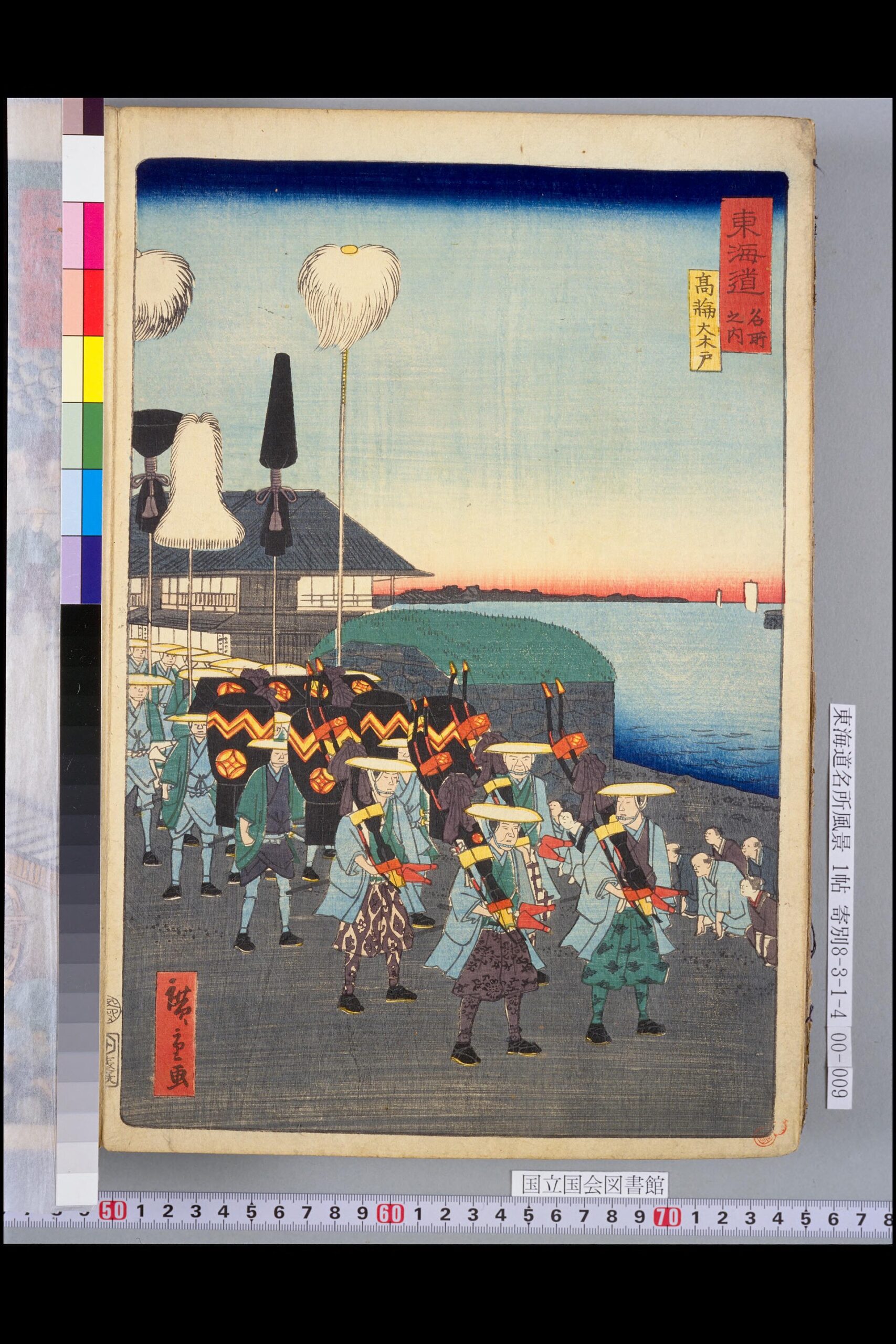
Travelers heading toward Edo passed the barrier before entering the denser city. Those leaving the capital crossed it on the way to Shinagawa-juku, the post town farther south. Takanawa was therefore the approach to Shinagawa, not the post town itself.
Temples Occupied the Slopes above the Highway
The hills above the road developed into a broad religious landscape. Temples moved toward the edge of Edo during seventeenth-century urban reorganization, and major fires encouraged authorities to relocate religious institutions away from crowded central districts.
Takanawa’s slopes offered larger plots, access to the city and some separation from the busy highway. Temples stood beside daimyo estates, cemeteries and residential compounds. The plateau became quieter and more enclosed than the transport corridor below.
Modern embassies, schools, hotels and residences later reused many of the same advantages: elevated ground, larger sites, greenery and access to central Tokyo. The institutions changed, but the contrast between the plateau and the lower corridor survived.
Sengakuji Became a Place of National Memory
Sengakuji was founded by Tokugawa Ieyasu in 1612 at Soto-Sakurada. After fire destroyed the temple in 1641, the shogunate ordered it rebuilt in Takanawa with assistance from five daimyo families, including the Asano.
The temple was already important as one of Edo’s principal Soto Zen institutions before its association with the Ako retainers. In 1701, Asano Naganori wounded Kira Yoshinaka inside Edo Castle and was ordered to take his own life. Former Asano retainers attacked Kira’s residence in December 1702 and were later ordered to commit seppuku. They were buried near Asano at Sengakuji.
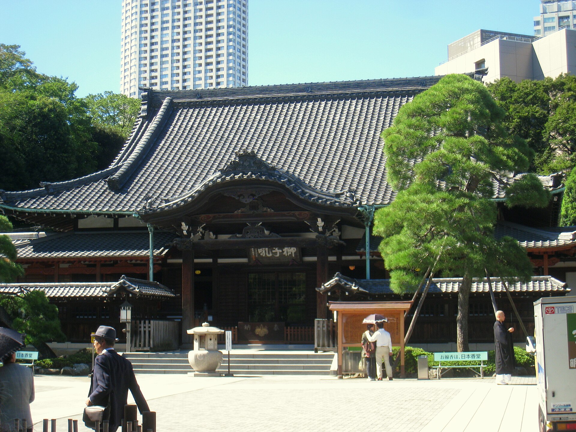
The graves turned the temple into a major place of commemoration. Theater, literature and film later transformed the incident into the many versions of Chushingura. Visitors today encounter an active temple, historic graves and centuries of storytelling in the same precinct.
The First Railway Created a New Gateway
After the Meiji Restoration, the new government selected railways as a tool for national administration, trade and integration. The first line was planned between Tokyo and Yokohama. North of Shinagawa, however, the narrow land corridor was crowded with roads, temple property, military land and private holdings.
Engineers solved the problem by placing part of the railway on an embankment along and over the shallow shore. Stone facing and earth fill created a dedicated track bed, while openings allowed boats and water to pass through.
The decision did more than avoid expensive land acquisition. It gave the modern state its own straight transport route beside the old highway. Takanawa’s gateway shifted from a road barrier controlling people at walking pace to a railway organized by stations, tickets and timetables.
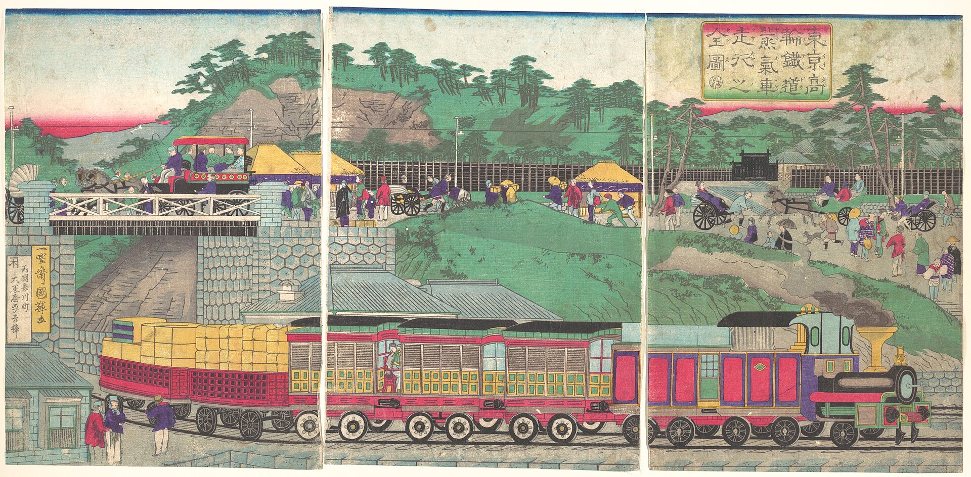
Temporary service between Shinagawa and Yokohama began in June 1872. The completed Shimbashi–Yokohama line formally opened in October. Steam trains now crossed shallow water beside the old Tokaido.
Shinagawa Station Replaced the Road Barrier
Shinagawa Station opened for the first railway service in 1872. Despite its name, it stands north of historic Shinagawa-juku and within present-day Minato City.
The station changed the meaning of arrival. Travelers no longer entered Tokyo through one gate on a highway. They joined a national system through platforms, schedules and rail connections. Yards, sidings and trunk lines gradually spread along the former coast.
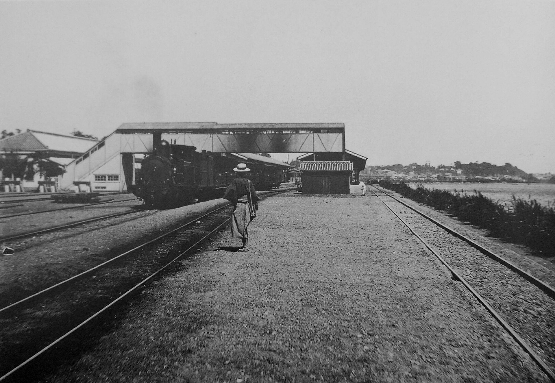
Later reclamation pushed the shoreline eastward. Structures originally built over water became buried inside dry land. The old highway lost its sea view, while rail yards formed a broad barrier between the plateau and the new waterfront.
The Railway Embankment Survived beneath the City
Construction around Takanawa Gateway Station exposed stonework from the 1872 railway embankment in 2019. Large sections had survived beneath later fill and operational railway land.
The discovery showed that Tokyo’s first railway had not vanished completely. It had become archaeological infrastructure: a former shoreline route buried beneath the modern rail corridor.
Preservation plans retained important sections in place, including part of the Seventh Bridge area, while other remains were relocated, reburied or recorded. The site demonstrates a recurring Takanawa problem: the same narrow corridor remains valuable for both transport development and historical preservation.
Takanawa Gateway City Reuses Railway Land
JR East opened Takanawa Gateway Station in March 2020 between Tamachi and Shinagawa. The station was built on former rail-yard land as the center of a larger urban district.
The first major phase of TAKANAWA GATEWAY CITY opened in March 2025, and the district reached its official grand opening on March 28, 2026. Offices, commercial facilities, residences, public spaces, research functions and cultural venues now occupy land once closed to most people as railway yards.
The word “Gateway” recalls Takanawa’s historic role, but the new gateway does not control entry like the Okido. It is designed to concentrate movement, work, culture and daily life around a station.
This is the latest reuse of the same geography. The Edo government placed a road barrier where movement narrowed. The Meiji state built a railway over the shore when inland land was difficult to obtain. The present city has opened former railway land to new public and commercial uses.
What to Notice When You Visit
Takanawa Okido
The surviving stone base stands near Sengakuji Station beside National Route 15. Look south and north along the old highway, then imagine the bay immediately east of the road.
Sengakuji and the Temple Slopes
Visit Sengakuji as an active Soto Zen temple as well as a memorial site. The rising ground behind the highway shows why temples and cemeteries occupied a different landscape from the transport corridor below.
Takanawa Gateway Station
Public decks and open spaces show how former rail-yard land has been turned into a station-centered district. The contrast with the narrower old highway to the west is especially clear.
The Takanawa Embankment
Official displays and preserved remains explain that Japan’s first trains once ran over shallow coastal water here. Access conditions can change as conservation and development continue.
How Takanawa’s Gateways Fit Together
| Period | Gateway | What it did |
|---|---|---|
| Edo period | Takanawa Okido | Marked the southern approach to the city and regulated road traffic. |
| Edo to modern period | Temple slopes | Connected worship, burial, education and public memory. |
| Meiji to twentieth century | Railway corridor | Connected Tokyo with a national transport network. |
| Twenty-first century | Station-city | Combines transport with offices, homes, commerce, research and culture. |
Timeline
- 1612: Sengakuji is founded at Soto-Sakurada.
- 1641: The temple is rebuilt in Takanawa after a fire.
- 1701–1703: The Ako Incident leads to the burial of Asano Naganori and his former retainers at Sengakuji.
- 1710: Takanawa Okido is established beside the Tokaido.
- 1872: Japan’s first railway opens between Shimbashi and Yokohama using the Takanawa Embankment.
- Late nineteenth and twentieth centuries: Reclamation and railway expansion move the visible shoreline eastward.
- 2019: Surviving sections of the railway embankment are identified during redevelopment.
- 2020: Takanawa Gateway Station opens.
- 2025: The first major phase of TAKANAWA GATEWAY CITY opens.
- 2026: The station-city reaches its official grand opening.
Frequently Asked Questions
Why was Takanawa a gateway to Tokyo?
The plateau and former shoreline narrowed travel into a north–south corridor. Roads and later railways repeatedly used that same geography.
What was Takanawa Okido?
It was a large road barrier established beside the Tokaido in 1710. Part of its stone base survives near Sengakuji Station.
Why was the first railway built over the water?
Existing roads, temple land, military property and private holdings made an inland route difficult. Engineers instead built a track bed across shallow coastal water.
What is the Takanawa Embankment?
It is the stone-and-earth railway roadbed built for the 1872 Shimbashi–Yokohama line. Later reclamation buried much of it beneath railway land.
Why is Sengakuji associated with the Forty-Seven Ronin?
Asano Naganori and his former Ako retainers were buried there. Their graves became a place of commemoration, while later theater and film spread the story nationally.
The Gateway Moved, but the Corridor Remained
Takanawa’s modern form exists because the same narrow strip of land has been reused for more than three centuries.
The Okido turned geography into a controlled road entrance. The first railway turned the former shore into a route for national transport. Shinagawa Station made arrival depend on platforms and timetables. Takanawa Gateway City has now opened former railway land as a new center for work, culture and public life.
The structures changed, but the reason they gathered here did not. Takanawa remains Tokyo’s southern gateway because the plateau, highway and vanished coast created a corridor that every period had to use.
Related Neighborhood Histories
For the post town beyond Takanawa, read the history of Shinagawa. To compare the southern gateway with the starting point of the Tokaido in Edo, see the history of Nihonbashi.
Sources and Further Reading
- Minato City Local History Museum: Birthplace of Japan’s Railway—150 Years of Railways
- Minato City: Takanawa Embankment preservation information
- Agency for Cultural Affairs: Takanawa Embankment
- Sengakuji official history
- JR East: company history
- TAKANAWA GATEWAY CITY official site
Walk Tokyo with TimeWalk Japan
TimeWalk Japan organizes English-friendly and bilingual history walks, architecture visits and cultural events in Tokyo. See the current schedule on Meetup.